Capture the section
Collect road footage with location and frame timing data during a survey drive.

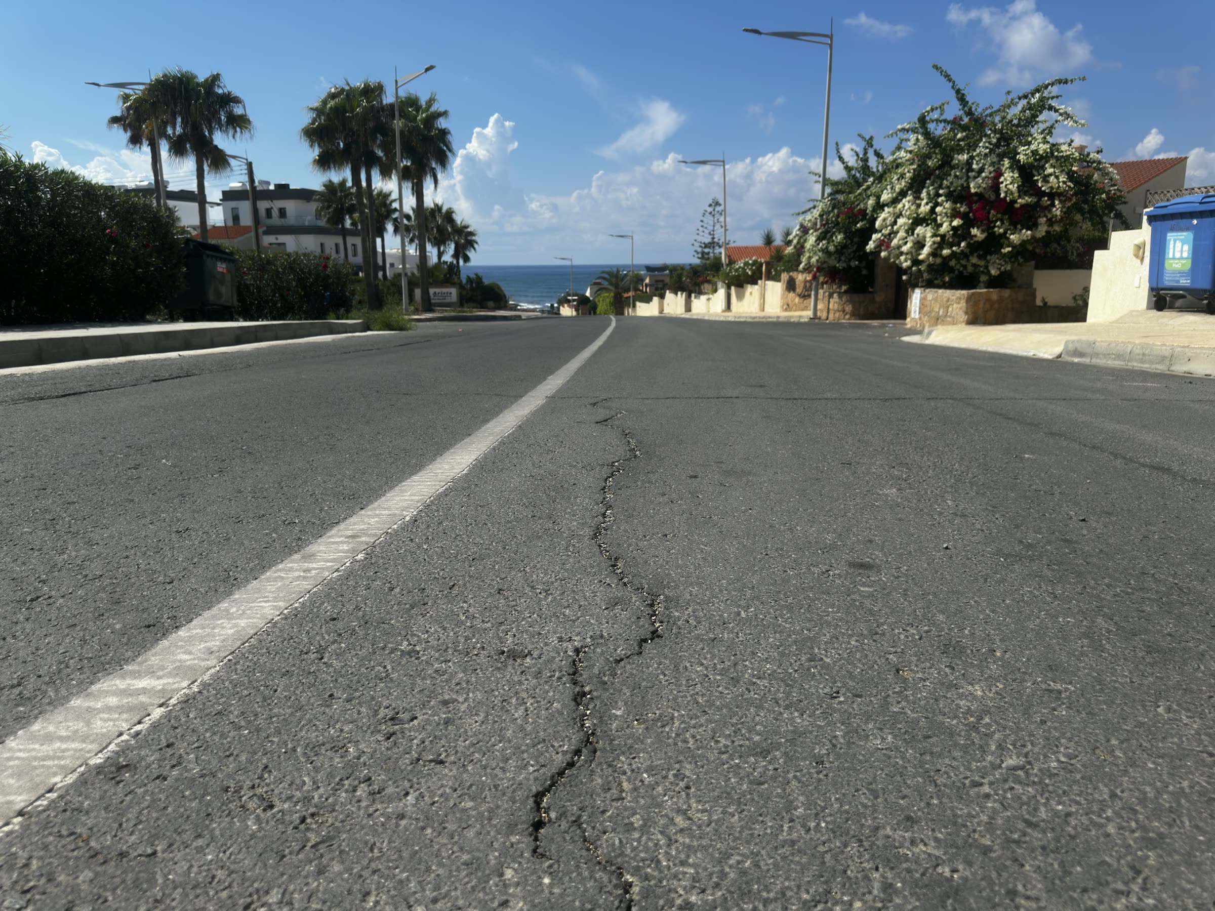
Road survey intelligence
Turn survey footage and location data into reviewable defect evidence, an interactive map, and a report. Built around the way road engineers actually inspect a section.
THE WORKFLOW
Roadestro brings the field recording and office analysis into one traceable road inspection workflow.
Collect road footage with location and frame timing data during a survey drive.
Process the recording in the desktop application to identify and inspect pavement defects.
Explore frames and findings, see approximate locations on a map, and export a report.
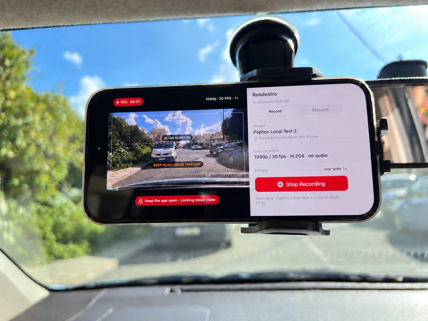
FIELD RECORDING
An iPhone mounted to the windscreen records the road ahead during a survey drive in Paphos. The recording captures footage, location observations, and frame timing for desktop review.
WHAT YOU GET
Move beyond an unstructured folder of survey footage. Keep the image, finding, and road context connected during review.
01 / REVIEW
Examine detected defects alongside source frames in the desktop review workspace.
02 / CONTEXT
Understand how findings are distributed along the surveyed section and navigate to approximate locations.
03 / DELIVERY
Share a structured inspection result for technical review and follow-up work.
Locations support road inspection and field navigation. They are approximate and are not survey-grade measurements.
BUILT FOR ROAD TEAMS
Give engineers a clearer picture of where defects appear and which areas deserve closer inspection or repair planning.
Discuss a pilotReview the road section through its footage, detected defects, and mapped context.
Find areas that need a closer on-site look and keep a record of what prompted it.
Bring structured findings into conversations about maintenance and next steps.
LET'S TALK
Tell us about your road inspection needs and the evidence your team needs to review and share.